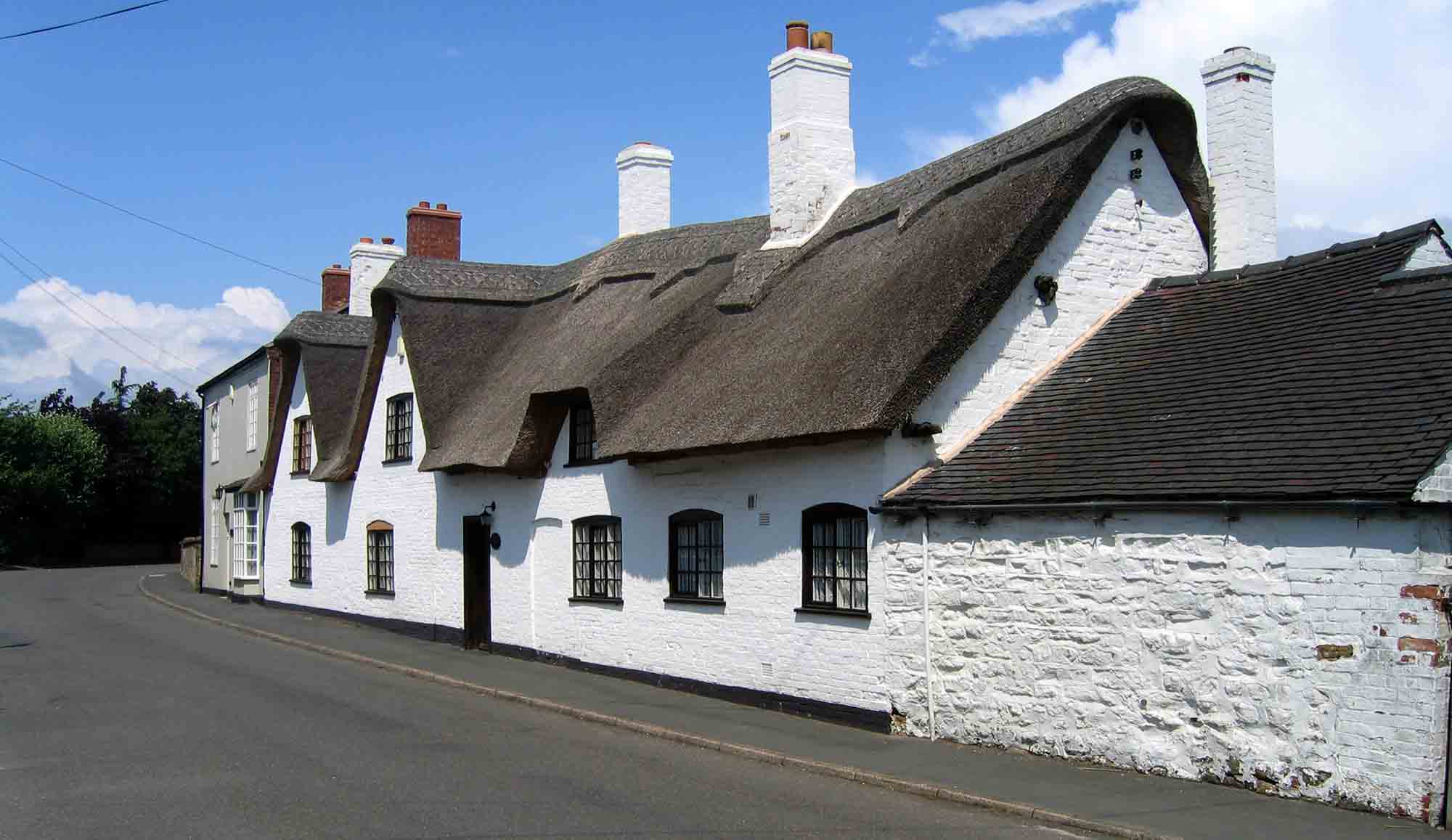
Monday 31st August 2026
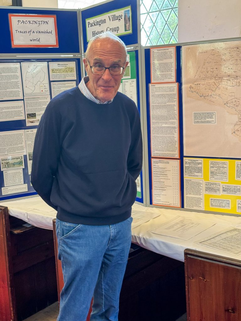
PVHG exhibited a display of village history at the Open Gardens event on August Bank Holiday Monday 31st, 2026, along the inside South wall of our village church. Our PVHG Treasurer and archivist Sue Brown created the display, and was on hand with Chair Robin Boucher to discuss details with visitors.
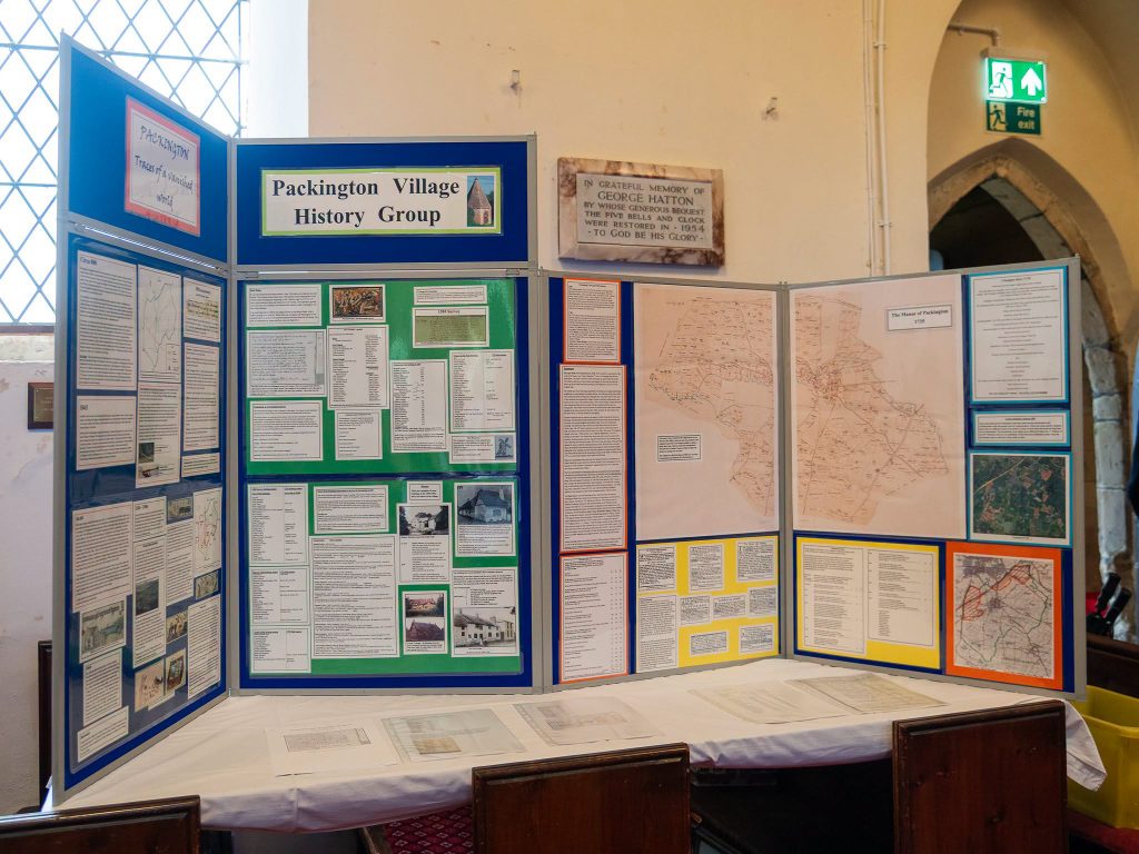
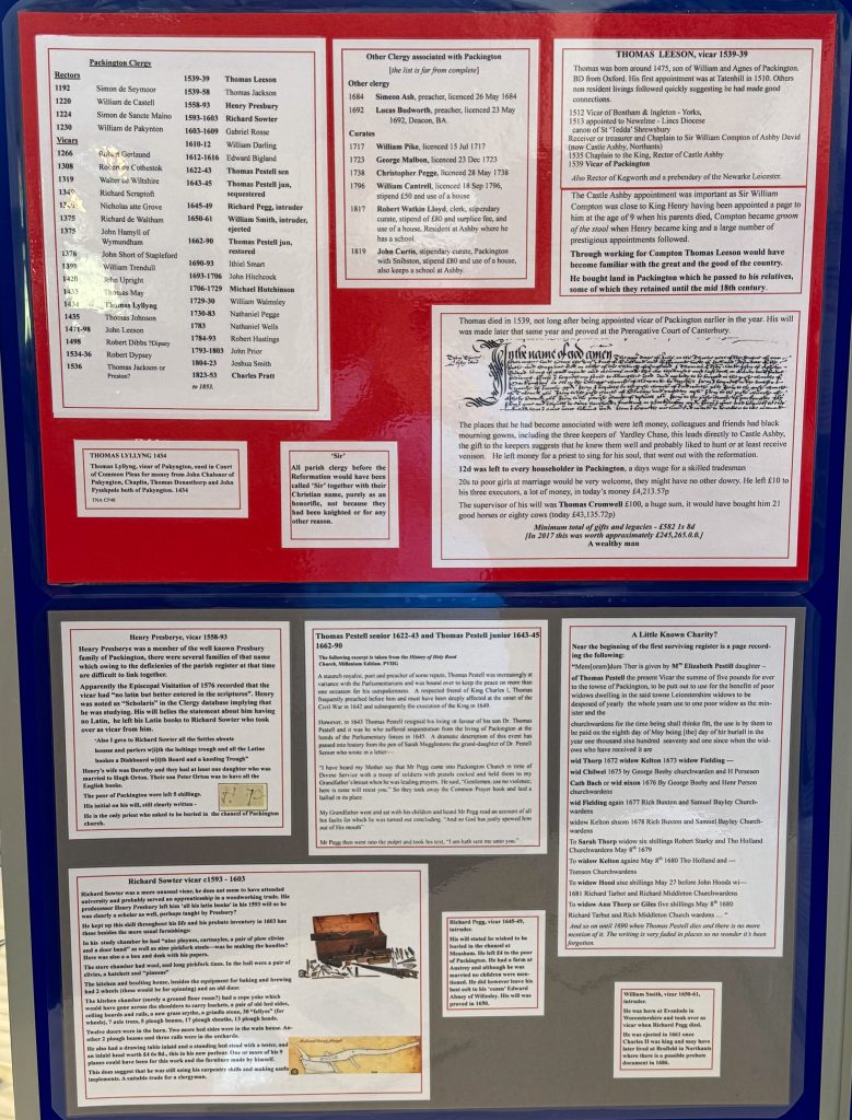
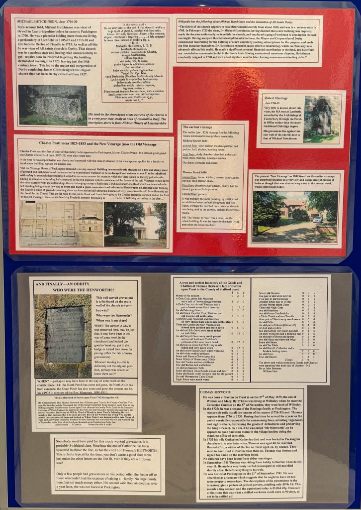
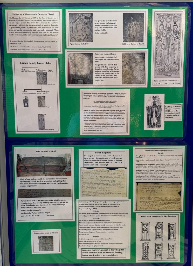
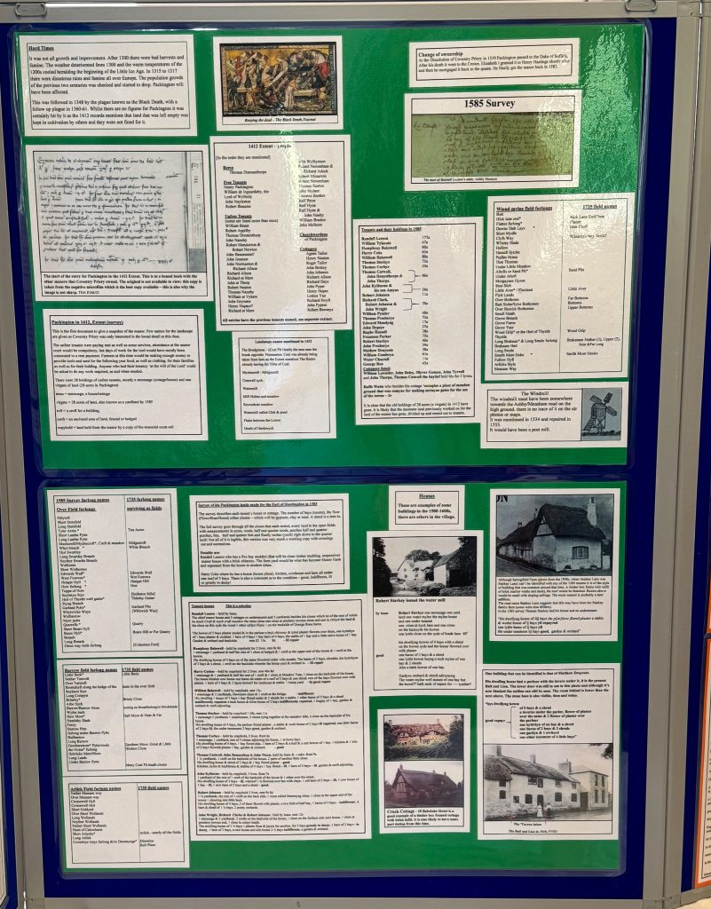
The display consisted of eight display frames as seen above and below
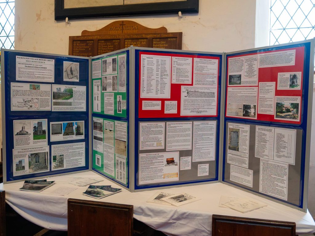
Here are some of the exhibits:
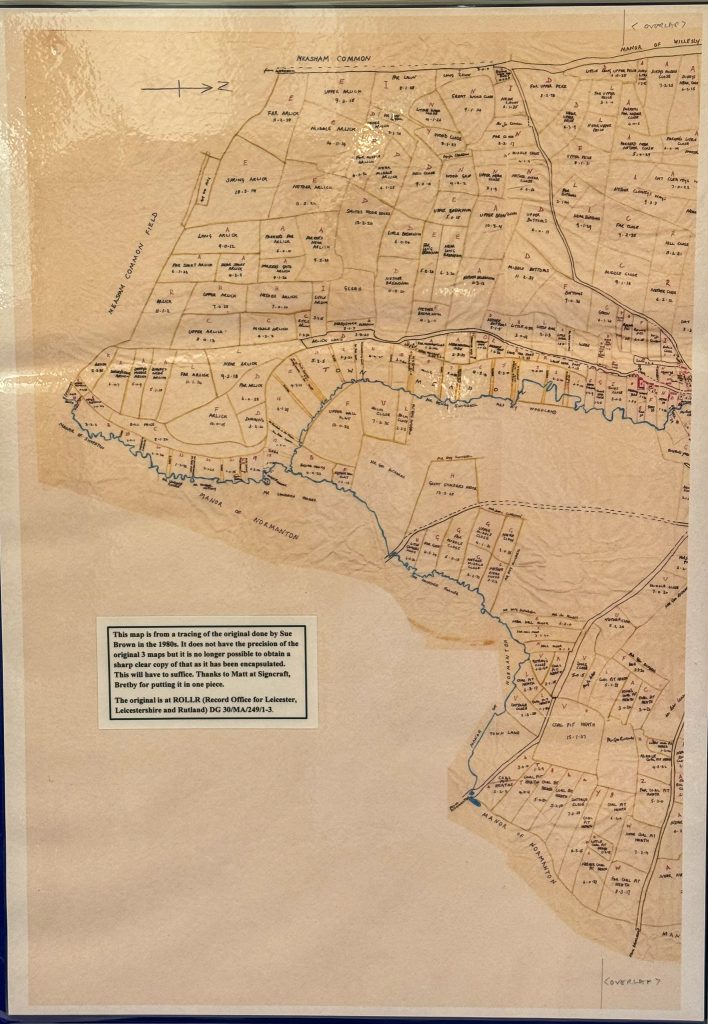
The 1735 map in 2 parts below is from a tracing of the original taken by Sue Brown in the 1980s. It does not have the precision of the original 3 maps, but it is no longer possible to obtain a sharp clear copy of those as they have been encapsulated at the Record Office for Rutland and Leicestershire under DG 30/MA/249/1-3. This will have to suffice. Thanks to Matt at Signcraft, Bretby, for putting it all in one piece
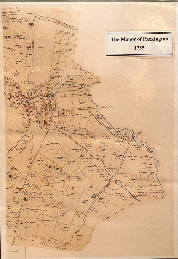
Note that the maps are WEST UP, so North is at Right. Above you can see the village outline, with the Ashby Road going North – right – to cross the Gilwiskaw Brook en route to Ashby.

Administration, taxes and obligations – long before Council Tax: here in two hand-written pages is the original, summarised in modern type below:
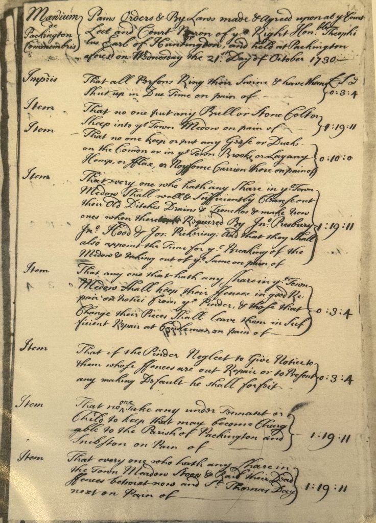
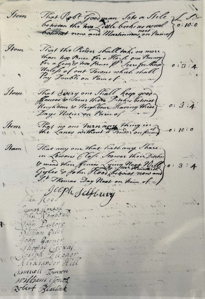
This is the easy-to-read typed version of the two hand-written pages above:
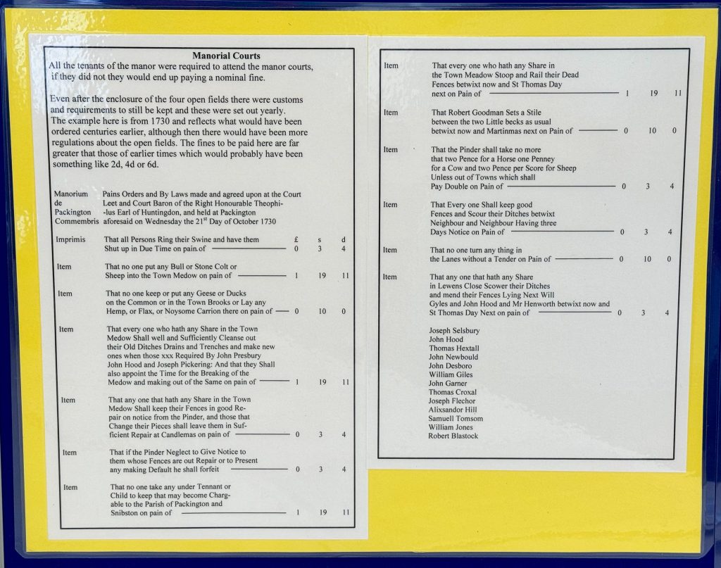
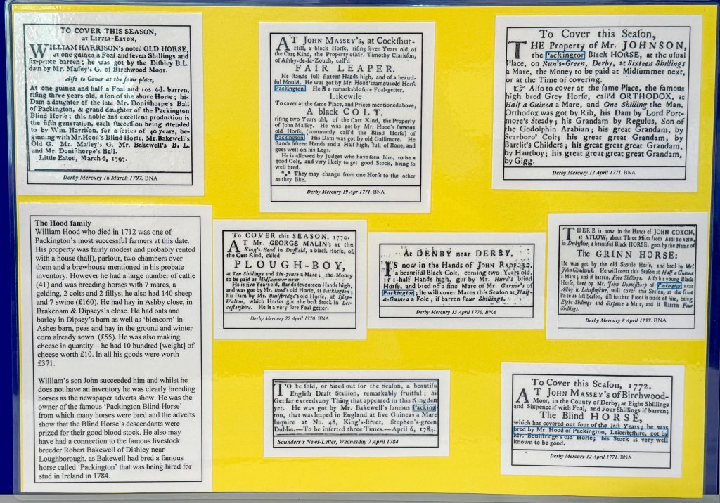
The Will of William Hood, mentioned above, is shown below:
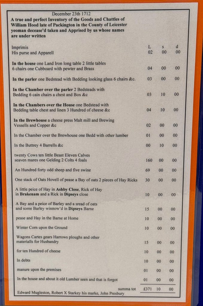
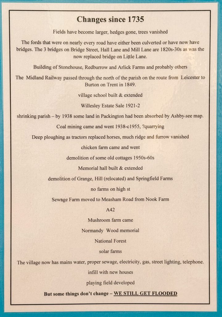
Things have changed a bit since the 1735 Estate Maps were made:
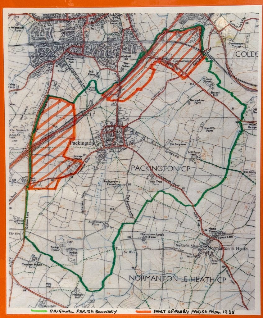
Below are the Parish Boundary changes mentioned above, this map is North-oriented:
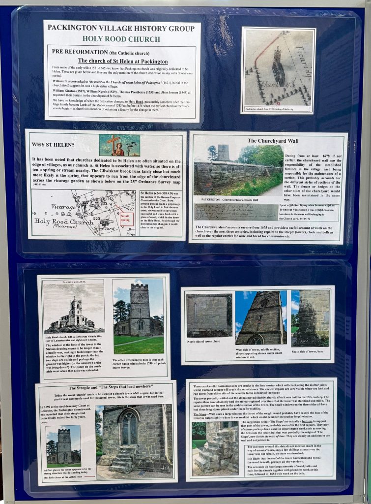
The left-hand frames of the display relate to our ancient church and its environs. Today’s Holy Rood church, named after the wooden rood or sculpture in the roof space, used to be St Helen‘s church
Join Us?
PVHG meets 9 times a year at 7:30pm on the 4th Tuesday in each month, except December, July and August, in the Chris Miles Room of the village memorial hall. You are most welcome to come along and join us