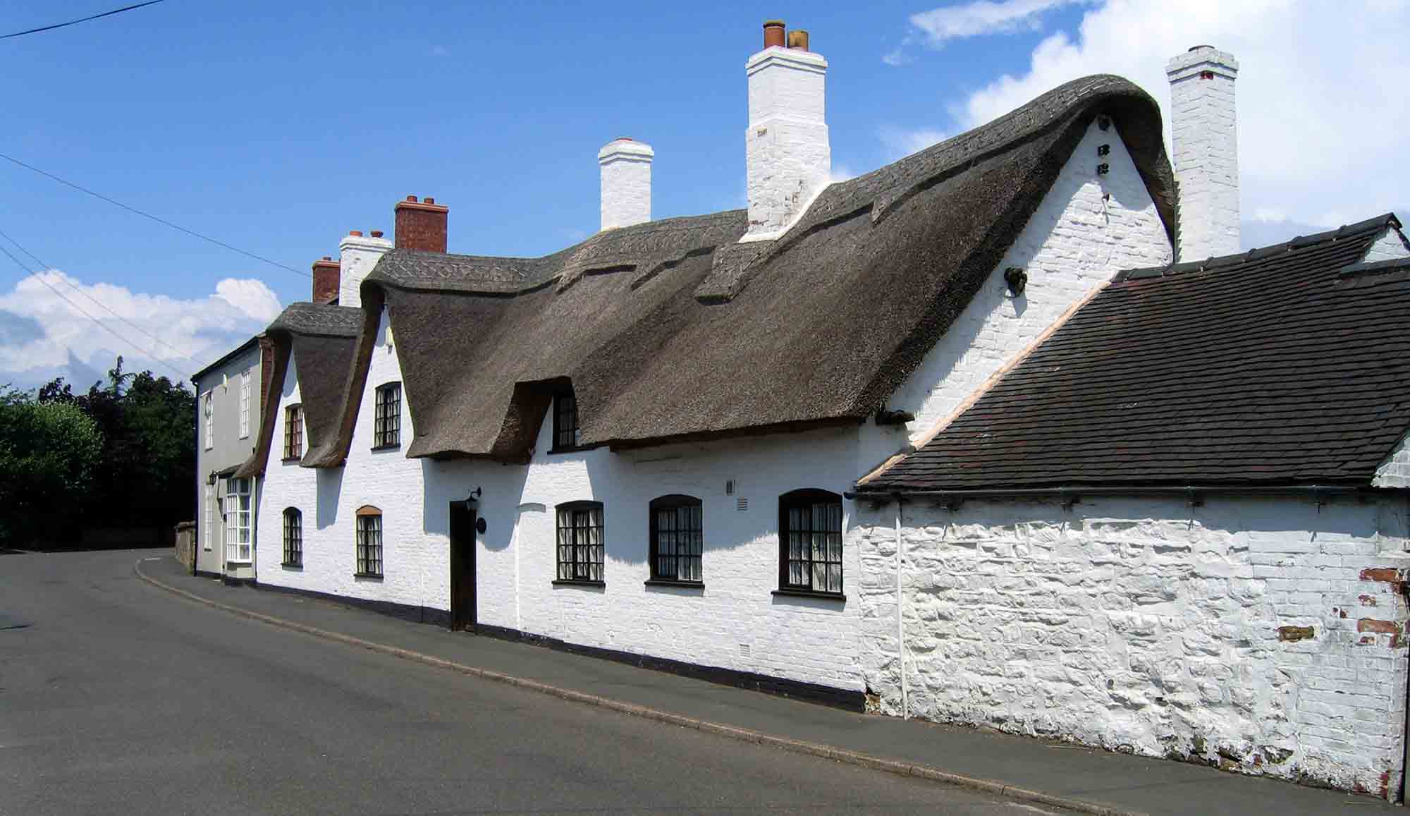
Do you know how many people live here in our village today?
When the Doomsday Book was compiled almost a thousand years ago, there were just ten dwellings in our village – as you can see from this image at The National Archives:


PVHG historian Ian Scruton, has been researching our population, and came across an excerpt in Sir Walter Scott’s “The Story of Ashby-de-la-Zouch” published in 1907, saying:
Packington might now be described as a decaying, though picturesque, village. Within living memory no less than forty houses in it have been taken down, whist few, if any, have been built to take their place. That means a decrease in the population of about two hundred persons (Page 434)
Just 6 years earlier, Packington’s population in 1901 had been verified at the census as 473 – just over half our present size.
So how many people do you think lived here in 1851, a century and half ago? Would you be surprised to read that it was 1,294, almost two and a half times more than 50 years later in 1901? If so, where did they all go in those 50 years?
Census records reveal our population through the last two centuries:
1801 summary – 563
1851 census – 1294
1901 census – 473
By contrast, in 2022, we deliver 402 copies of Packington Post to all separate village dwellings. The estimated population in 2020 was 824 , which seems about right at just over two per dwelling.
PVHG founder member, and former village resident, Paul Monk, who was the Head Teacher at our village school from 1983 onwards, did some research, and his results are surprising. He wrote the following, published in an Ashby Museum “Past and Present Journal” dated 12th August 2012
Population Change in Packington – A local history detective story
by Paul Monk – 4th January 2010
Censuses can be tricky things. They are very useful tools for the local historian, but consider their information in isolation and it is possible to reach very strange conclusions. Take Packington, for example. There was a dramatic rise and fall in the population during the nineteenth century which can only be explained by examining external factors.
The very first Census of England and Wales was taken in 1801 (Scotland followed in 1802). In this census the population was counted by households on a parish basis. There were no personal details, such as names, recorded. The population of the Parish of Packington was recorded in the 1801 Summary Report as 563 persons. At this time Packington was a rural village relying on agriculture for the majority of its employment. In 1901 the population of the parish was recorded as 473, about a 20% drop. There had been many economic changes during the nineteenth century but in 1901 Packington was still an essentially rural and agriculturally based village.
However, during the first half of the century the population grew to a maximum of 1294 by the 1851 Census and then declined steadily to 1881 when the population was 1153. Then there was a dramatic slump in the population in the 1891 Census to 498. The answer to this unusual pattern lies in events outside the village and some local geography.
During the majority of the nineteenth century, the parish of Packington was not the same geographical area that it is today. Firstly, some of the village was in Derbyshire and some was in Leicestershire. The “islands” of Derbyshire can be clearly seen on the early Ordnance Survey maps. An example of this is a group of houses around the junction of Mill Street and
the High Street which clearly shown as being in Derbyshire. An examination of the field boundaries in Babelake Street is also interesting as it shows alternate fields being in Derbyshire and Leicestershire. During this period Packington was actually known as the Parish of Packington with the Chapelry of Snibston. This meant that there was a part of the parish detached from the village on the far side of the parish of Ravenstone.
It is from these two geographical and ecclesiastical facts, together with events from outside, that an explanation for the population growth and decline can be deduced.
In 1834 George Stephenson opened the Leicester to Swannington line and moved to Alton Grange to oversee his railway and colliery interests. He had recently invested heavily in Snibston Colliery which was developing into a major enterprise. An important mine development needed workers and their families and they mainly settled near the colliery.
During the 1830s the population of Packington rose from 730 to 1024, an increase of 71 %.
It can be shown with some certainty that most of this increase of population was in the Snibston area and not in Packington village. White’s Directory of Leicestershire and Rutland is an important primary source for the nineteenth century. It analysed the population of the parish of Packington after the 1861 and 1871 censuses into the population of the parish and the population of Snibston. From this it is easy to see that all the population increase happened in the Snibston area and the population of Packington village remained approximately the same.
But what happened in the 1891 census when the population of the parish suddenly plummeted from 1153 to 498? This was a fall of about 230%!
The answer lies in an important Act of Parliament, the Reform Act of 1884. This act redefined many county and parish boundaries. In Packington all the “little islands” of Derbyshire became part of Leicestershire and were now counted in the Leicestershire Census for 1891. However, more importantly, the Chapelry of Snibston was removed, with all its population, from the Parish of Packington. This meant that from 1891 onwards the population of the parish was only counted in the village and its immediate surrounding rural area.
To interpret the sudden rise and slump in the population has required some local history detective work using several different sources. It was the influence of one of Britain’s greatest engineers and a major boundary reform that can explain the strange population pattern.
References:
- David and Charles (No Date): Reprint of the First edition of the Ordnance Survey Sheets 35 and 42
- Owen, Colin (1984): The Leicestershire and South Derbyshire Coalfield 1200-1900
- Victoria County History (1955): Leicestershire Volume III
- White, William (Various 19th Century editions): History, Gazetteer and Directory of Leicestershire and the Small County of Rutland
Footnote: PVHG Founder member Paul Monk is now resident in Northern Scotland, and wrote to us, describing the origins of PVHG in the late ’80s:
The work that I did on the Packington Population was written after we had moved up here to Cromarty. I had a look at the PVHG website this afternoon and I was pleasantly surprised to see that the group was still in existence. I remember how we set it up. Laura Cooper and I suggested that a local history class was set with Jim Slater who worked for Vaughan College, Leicester University. Early members were Laura and Peter Cooper, Dorothy Ireland and Yvonne Eaton as well as me. We held it in the big classroom at the school. One of our first projects was the Publication of the photo book called “Packington Observed”. I wrote three or four parts of this.